[an error occurred while processing this directive] NCSIDO - 2006.06.16_UT

Experimental Data & Results

Earth's Ionosphere

This page contains a record of experimental data acquired with the multi-channel, software-defined radio receiver. The data is updated hourly and is available as the most recent one, six, and twenty-four hour graphs. Additionally, at the end of each calendar day, that day's data is archived and made available in the table of Archived Data. By default, the most recent twenty-four hour graphs are displayed. The most recent hour and six hour graphs can be viewed by clicking on the corresponding named fields just below. Daily data can be viewed by clicking on one of the date fields in the table of Archived Data further below.

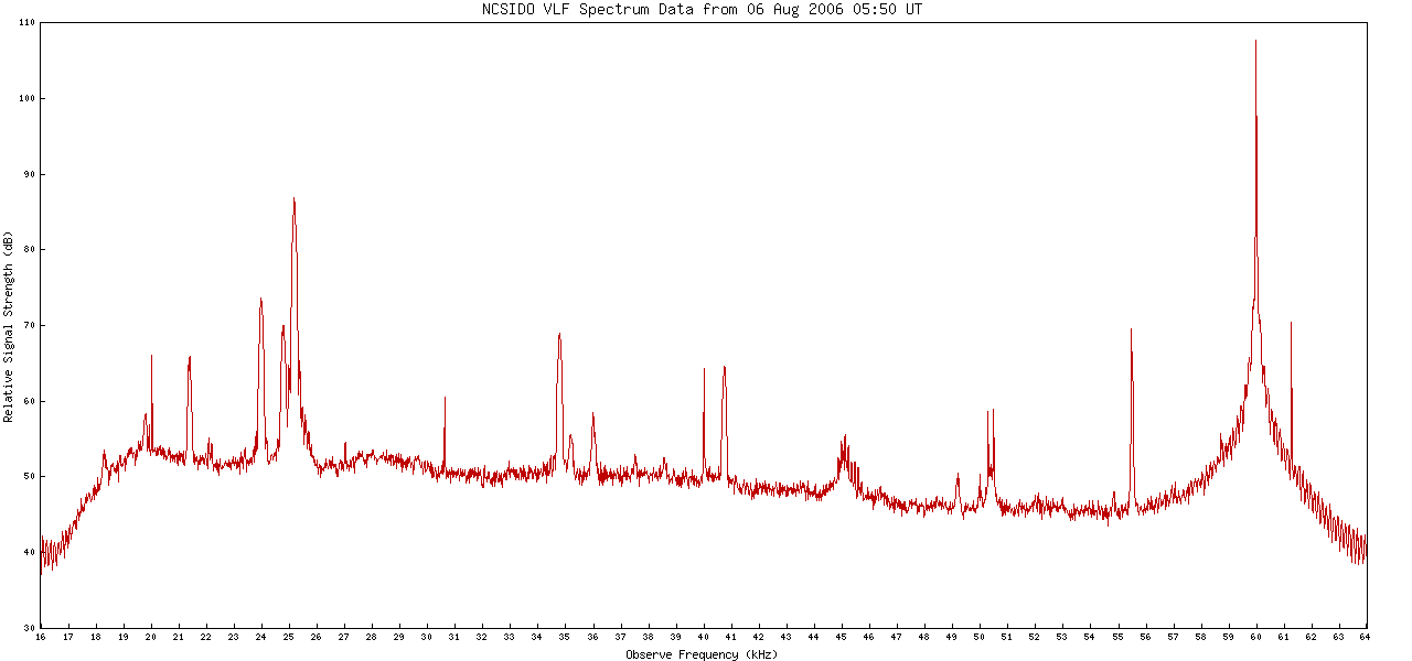
The data records correspond to the scalar amplitude of several different transmitters identified by their frequencies in the graph labels and received at NCSIDO.

Observatory Location:

Latitude: 40.1483° North
Longitude: 105.2314° West
Elevation: 1.59km above sea level
The coordinates for the observatory are those of Table Mountain in Boulder Colorado courtesy of the Deep Space Exploration Society.

Current Date & Time:

05:31 Hr, 15 March 2024 UTC
22:31 Hr, 14 March 2024 PDT


[an error occurred while processing this directive]

Selected Data:

n.b., The relative value of received signal is calibrated but the absolute value is uncalibrated.
21400Hz VLF Data 24000Hz VLF Data 24800Hz VLF Data 25200Hz VLF Data 40700Hz VLF Data 45000Hz VLF Data 60000Hz VLF Data

Channel Details:

Receiver FrequencyTransmitter Information
Center
(Hz)
Width
(Hz)
Call
Sign
LocationGeographic
Latitude
Geographic
Longitude
Range
(km)
Bearing
(From N)
21400200NPMLualualei, HI USA+21.0500°-158.0333°5390263°
24000200NAACutler, ME USA+45.0666°-70.2750°288967°
24800300NLKJim Creek, WA USA+48.2300°-122.0500°1609310°
25200300NMLLaMoure, ND USA+46.3600°-98.3100°88937°
40700200NAUAguada, PR+18.3810°-67.1890°4362112°
45000200Empty Channel
60000200WWVBFort Collins, CO USA+40.6792°-105.0403°6115°
Table Mountain, CO USA+40.1483°-105.2314°

Frequency Disperse Spectrum Data:

VLF Spectrum Data

Data Archives:

Click on any date below to display the corresponding archive.

All dates are UTC